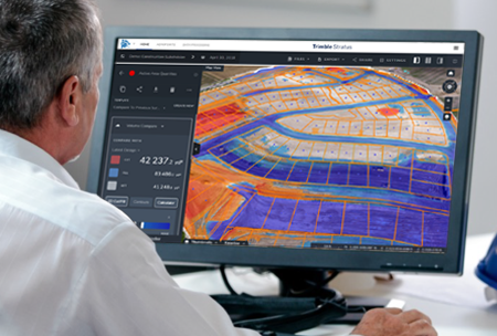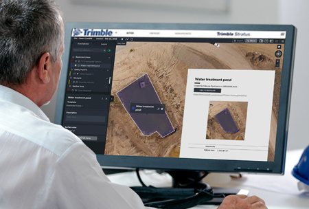
Get consistent results, quantifiable savings, and the confidence you need to map, measu...
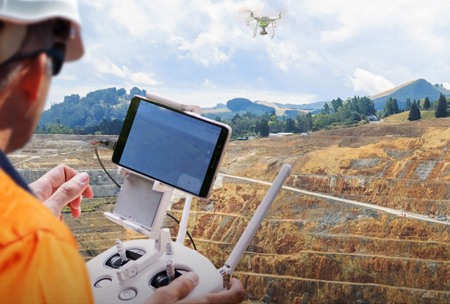
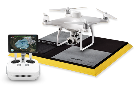
Trimble Unmanned Aircraft Systems (UAS) Aerial Imaging solutions are designed to drastically reduce time and cost to collect aerial data and guarantee the reliability you need. Aerial imaging can be used to perform a variety of tasks and produce a range of deliverables.
Trimble UAS Aerial Imaging solutions are ideal for:
©2017 SITECH NorCal & SITECH Oregon. All Rights Reserved
Terms of Use | Privacy Policy | Sale Agreement Terms and Conditions | Rental Agreement Terms and Conditions