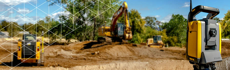
Replace paint marks and 2D plans with visualizations from high-accuracy augmented reality enabled by Trimble Catalyst technology. With the tap of a button, information is displayed at scale and in context. Take measurements with the integrated distance measurement technology to verify information and fully understand the site.
SiteVision Features
Data support
SiteVision supports 2D and 3D data from Esri® databases, digital elevation models, .DWG, .SKP and .IFC data formats. Using SiteVision’s configurable rules engine you can turn existing GIS data into easy to understand 3D models complete with attributes.
Measure & Model Positioning
Make real-time calculations and quick decisions with confidence thanks to high-accuracy positioning and measurement tools. Check utility location offsets from property boundaries and occupation by measuring between the real world and the model with GNSS or EDM, or measure the distance between pipes, pylons or valves within your model.
Create concepts
Place models from the 3D Warehouse of Sketchup or your own and visualize concepts in the field. For example, see how EV stations will look like when placed in a parking lot.
Visualization Tools
Understand and interact with subsurface utility data by using pit view. This enables you to isolate the view of your data in true 3D to compare, validate and plan work on-site by draping it on the ground’s surface and adjusting the diameter and transparency of the data within or outside of the pit.
Reporting
Take augmented reality photos and notes in the field, report errors, create tasks and assign them to project members back at the office, all in real time.
Plan Construction
Create the profile of a trench where you are going to place your pipes in the field, select the location where it is going to be dug and visualize the trench through your smartphone, then pass the design directly to the machines with Trimble Earthworks to excavate it.
